
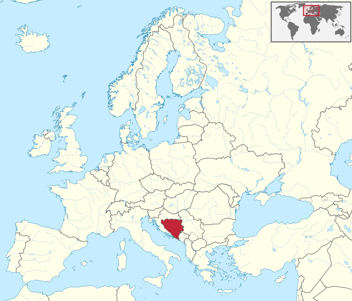
Usòrò:Bosnia and Herzegovina in Europe.svg

Size of this PNG preview of this SVG file: 701 × 599 piksels. Ndị ọzọ mkpebi:281 × 240 piksels | 561 × 480 piksels | 898 × 768 piksels | 1,198 × 1,024 piksels | 2,395 × 2,048 piksels | 1,401 × 1,198 piksels.
Failụ si na nke mbu (usòrò SVG, nà áhà pixel 1,401 × 1,198, ívụ usòrò: 2.61 MB)
Mmẹkụwátá
.svg)
.svg)
.svg)
.svg)
.svg)
.svg)
.svg)

-en.svg)

.svg)
.svg)
.svg)

_(US48).svg)
_(small_islands_magnified)_(-mini_map_-rivers).svg)
.svg)
_(extra_close)_(US48).svg)
.svg)
_(zoom).svg)

.svg)


_(UNMIK).svg)
.svg)
_(disputed_hatched).svg)
_(claimed_and_disputed_hatched).svg)
.svg)
.svg)
_(%2Ball_claims_hatched).svg)

.svg)
_(shade).svg)
_(shade)_(special_marker).svg)
_(-mini_map).svg)
_(-mini_map).svg)
_(-mini_map).svg)


.svg)

.svg)
Nkwényé
I, the copyright holder of this work, hereby publish it under the following license:
Edebere faịlụ a n'okpuru ikikeree Creative Commons Attribution-Share Alike 3.0 Unported license.
- I wepulara nóru:
- i nye – ikọpị,ikekasi na izịpụ ọru a
- i dowaria – igbanwee ọrụ a
- Ọ ga bụ na ọnọdụ ndi a:
- í-kpó-áhà – Ị ga-enyerịrị ugo kwesịrị ekwesị, nye njikọ na ikikere ahụ, ma gosikwa ma emere mgbanwe. Ị nwere ike ime ya n'ụzọ ezi uche ọ bụla, mana ọ bụghị n'ụzọ ọ bụla na-egosi na onye nyere ikikere kwadoro gị maọbụ ojiji gị.
- gbásàa kà – Ọ bụrụ na ị tụgharịgharịa, gbanwee, ma ọ bụ wulite n'elu ihe ahụ, ị ga-ekesa ndenye gị n'okpuru otu ma ọ bụ ikike dakọtara dị ka nke mbụ.

|
I'd greatly appreciate, that you attribute this media file to Wikimedia Commons, if used outside Wikipedia or Commons. For use in publications such as books, newspapers, blogs, websites, please insert here the following line:
|
Ịta nke usòrò
Bìri èhì/ogè k'ị hụ òtù ụ̀fa dị̀ m̀gbè ahụ̀.
| Èhì/Ogè | Mbọ-aka | Ógólógó na asaá | Òjìème | Nkwute | |
|---|---|---|---|---|---|
| dị ùgbu â | 04:29, 12 Julaị 2016 | | 1,401 × 1,198 (2.61 MB) | Stasyan117 | Dotted line between Ukraine and Crimea |
| 14:11, 17 Maachị 2011 |  | 1,401 × 1,198 (4.04 MB) | TUBS |
Ojiji faịlụ
Ọdighi ihuakwụkwọ nwere failụ a.
Ejiji failụ zụrụ ọha
Wikis ndi a edeputara na eji kwa failụ a:
- Ihe eji na ace.wikipedia.org
- Ihe eji na ang.wikipedia.org
- Ihe eji na be-tarask.wikipedia.org
- Ihe eji na bg.wikipedia.org
- Ihe eji na bs.wikiquote.org
- Ihe eji na de.wikipedia.org
- Ihe eji na en.wikinews.org
- Ihe eji na es.wikipedia.org
- Ihe eji na et.wikipedia.org
- Ihe eji na fi.wikipedia.org
- Ihe eji na frr.wikipedia.org
- Ihe eji na fr.wikipedia.org
- Ihe eji na fy.wikipedia.org
- Ihe eji na hsb.wikipedia.org
- Ihe eji na hu.wiktionary.org
- Ihe eji na incubator.wikimedia.org
- Ihe eji na it.wiktionary.org
- Ihe eji na lv.wikipedia.org
- Ihe eji na nl.wikipedia.org
- Ihe eji na os.wikipedia.org
- Ihe eji na pl.wikipedia.org
- Ihe eji na pt.wikipedia.org
- Ihe eji na pt.wikiquote.org
- Ihe eji na pt.wiktionary.org
Lee more global usage of this file.