
Usòrò:Between corn rows.png

Otu nyochaa a ha:384 × 600 piksels Ndị ọzọ mkpebi:153 × 240 piksels | 307 × 480 piksels | 491 × 768 piksels | 655 × 1,024 piksels | 1,600 × 2,500 piksels.
Failụ si na nke mbu (1,600 × 2,500 pixel, ívù akwukwo orunótu: 6 MB, MIME nke: image/png)
Mmẹkụwátá
| Nkówá |
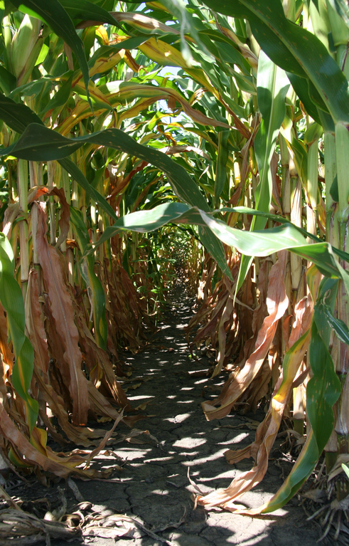
English: Looking along the narrow path formed between two rows of maize (Zea mays) in a field in Tippecanoe County, Indiana. The maize is normally sown in regular rows by a planter towed by a tractor. |
| Ǹgụ́ụ̀bọ̀chị̀ | |
| Mkpọlọ́gwụ̀ | Orü ọnwé |
| Odé ákwụ́kwọ́ | Huw Williams (Huwmanbeing) |
| Camera location | | View this and other nearby images on: OpenStreetMap |
|---|
Nkwényé
| I, the copyright holder of this work, release this work into the public domain. This applies worldwide. In some countries this may not be legally possible; if so: I grant anyone the right to use this work for any purpose, without any conditions, unless such conditions are required by law. |
This image has been assessed using the Quality image guidelines and is considered a Quality image.
|
Ịta nke usòrò
Bìri èhì/ogè k'ị hụ òtù ụ̀fa dị̀ m̀gbè ahụ̀.
| Èhì/Ogè | Mbọ-aka | Ógólógó na asaá | Òjìème | Nkwute | |
|---|---|---|---|---|---|
| dị ùgbu â | 11:49, 1 Septemba 2008 | | 1,600 × 2,500 (6 MB) | Huwmanbeing | {{Information |Description={{en|1=Looking along the narrow path formed between two rows of {{w|maize}} in a field in {{w|Benton County, Indiana}}.}} |Source=Own work by uploader |Author=Huwmanbeing |Date=2008-08-30 |Permission= |other |
Ojiji faịlụ
Ihe ndị na-eso ihe eji Ihu akwụkwọ eme na faịlụ a:
Ejiji failụ zụrụ ọha
Wikis ndi a edeputara na eji kwa failụ a:
- Ihe eji na ca.wikipedia.org
- Ihe eji na en.wikipedia.org
- Ihe eji na fr.wikipedia.org
- Ihe eji na gl.wikipedia.org
- Ihe eji na hi.wikipedia.org
- Ihe eji na mk.wikipedia.org
- Ihe eji na sq.wikipedia.org
- Ihe eji na te.wikipedia.org
- Ihe eji na uk.wikipedia.org