
Usòrò:Cuvette districts.png

Otu nyochaa a ha:776 × 600 piksels Ndị ọzọ mkpebi:311 × 240 piksels | 621 × 480 piksels | 994 × 768 piksels | 1,056 × 816 piksels.
Failụ si na nke mbu (1,056 × 816 pixel, ívù akwukwo orunótu: 28 KB, MIME nke: image/png)
| Nkówá |
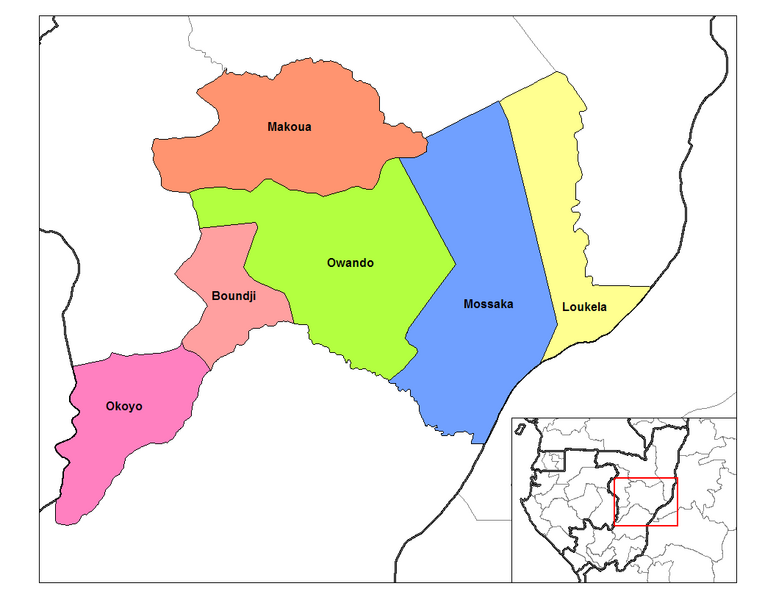
English: Map of the districts of Cuvette region in the Republic of the Congo. Created by Rarelibra 13:28, 12 September 2006 (UTC) for public domain use, using MapInfo Professional v8.5 and various mapping resources. |
| Ǹgụ́ụ̀bọ̀chị̀ | 12 Septemba 2006 (original upload date) |
| Mkpọlọ́gwụ̀ | Transferred from en.wikipedia to Commons by Gikü. |
| Odé ákwụ́kwọ́ | Rarelibra at Bekee Wikipedia |
Nkwényé
| This work has been released into the public domain by its author, Rarelibra at Bekee Wikipedia. This applies worldwide. In some countries this may not be legally possible; if so: Rarelibra grants anyone the right to use this work for any purpose, without any conditions, unless such conditions are required by law. |
Original upload log
The original description page was here. All following user names refer to en.wikipedia.
- 2006-09-12 13:35 Rarelibra 1056×816× (28455 bytes) Map of the districts of Cuvette region in the Republic of the Congo. Created by ~~~~ for public domain use, using MapInfo Professional v8.5 and various mapping resources.
- 2006-09-12 13:28 Rarelibra 1056×816× (32029 bytes) Map of the districts of Cuvette region in the Republic of the Congo. Created by ~~~~ for public domain use, using MapInfo Professional v8.5 and various mapping resources.
Ịta nke usòrò
Bìri èhì/ogè k'ị hụ òtù ụ̀fa dị̀ m̀gbè ahụ̀.
| Èhì/Ogè | Mbọ-aka | Ógólógó na asaá | Òjìème | Nkwute | |
|---|---|---|---|---|---|
| dị ùgbu â | 17:17, 2 Disemba 2008 | | 1,056 × 816 (28 KB) | Gikü | {{Information |Description={{en|Map of the districts of Cuvette region in the Republic of the Congo. Created by Rarelibra 13:28, 12 September 2006 (UTC) for public domain use, using MapInfo Professional v8.5 and various mapping reso |
Ojiji faịlụ
Ihe ndị na-eso ihe eji Ihu akwụkwọ eme na faịlụ a:
Ejiji failụ zụrụ ọha
Wikis ndi a edeputara na eji kwa failụ a:
- Ihe eji na de.wikipedia.org
- Ihe eji na en.wikipedia.org
- Ihe eji na es.wikipedia.org
- Ihe eji na fr.wikipedia.org
- Ihe eji na ha.wikipedia.org
- Ihe eji na it.wikipedia.org
- Ihe eji na lt.wikipedia.org
- Ihe eji na ro.wikipedia.org
- Ihe eji na ru.wikipedia.org
- Ihe eji na sw.wikipedia.org
- Ihe eji na tr.wikipedia.org
- Ihe eji na ts.wikipedia.org
- Ihe eji na www.wikidata.org
- Ihe eji na yo.wikipedia.org
- Ihe eji na zu.wikipedia.org