
Usòrò:Footpath in Duppas Hill Recreational Ground (geograph 2673447).jpg
Otu nyochaa a ha:800 × 600 piksels Ndị ọzọ mkpebi:320 × 240 piksels | 640 × 480 piksels | 1,024 × 768 piksels | 1,280 × 960 piksels | 2,560 × 1,920 piksels | 4,288 × 3,216 piksels.
Failụ si na nke mbu (4,288 × 3,216 pixel, ívù akwukwo orunótu: 6.32 MB, MIME nke: image/jpeg)
.jpg)
Mmẹkụwátá
| Nkówá |
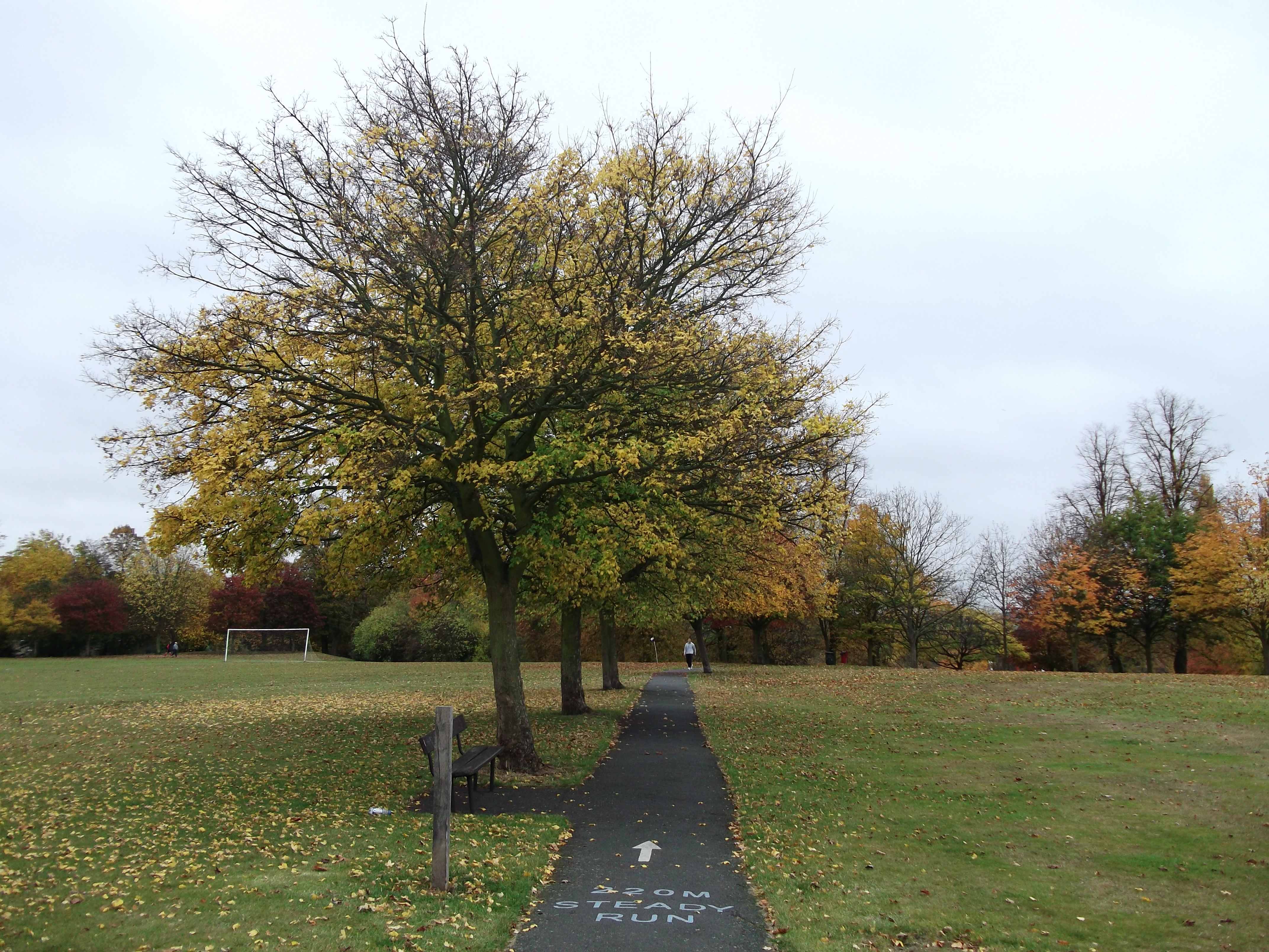
English: Footpath in Duppas Hill Recreational Ground |
| Ǹgụ́ụ̀bọ̀chị̀ | |
| Mkpọlọ́gwụ̀ | From geograph.org.uk |
| Odé ákwụ́kwọ́ | David Anstiss |
| Ọdà (Í jí kwá usòrò nke) |
Creative Commons Attribution Share-alike license 2.0 |
| Í-kpó-áhà (required by the license) | David Anstiss / Footpath in Duppas Hill Recreational Ground / |
| Camera location | | View this and other nearby images on: OpenStreetMap |
|---|
.jpg¶ms=051.367095_N_-000.109806_E_globe:Earth_type:camera_source:geograph-osgb36(TQ31686481)_heading:180.00&language=ig)
| Object location | | View this and other nearby images on: OpenStreetMap |
|---|
.jpg¶ms=051.366740_N_-000.109820_E_globe:Earth_class:object_type:object_source:geograph-osgb36(TQ31686477)_heading:180.00&language=ig)
Nkwényé

|
This image was taken from the Geograph project collection. See this photograph's page on the Geograph website for the photographer's contact details. The copyright on this image is owned by David Anstiss and is licensed for reuse under the Creative Commons Attribution-ShareAlike 2.0 license.
|
Usòrò nke á di okpúrù ákwúkwó íwú nke Mmẹ Òkike Tu ụta Ñkịtị édé íwú nke Í kpó áhà-Í gbàsáa nke Ñkịtị 2.0.
Í-kpó-áhà: David Anstiss
- I wepulara nóru:
- i nye – ikọpị,ikekasi na izịpụ ọru a
- i dowaria – igbanwee ọrụ a
- Ọ ga bụ na ọnọdụ ndi a:
- í-kpó-áhà – Ị ga-enyerịrị ugo kwesịrị ekwesị, nye njikọ na ikikere ahụ, ma gosikwa ma emere mgbanwe. Ị nwere ike ime ya n'ụzọ ezi uche ọ bụla, mana ọ bụghị n'ụzọ ọ bụla na-egosi na onye nyere ikikere kwadoro gị maọbụ ojiji gị.
- gbásàa kà – Ọ bụrụ na ị tụgharịgharịa, gbanwee, ma ọ bụ wulite n'elu ihe ahụ, ị ga-ekesa ndenye gị n'okpuru otu ma ọ bụ ikike dakọtara dị ka nke mbụ.
Ịta nke usòrò
Bìri èhì/ogè k'ị hụ òtù ụ̀fa dị̀ m̀gbè ahụ̀.
| Èhì/Ogè | Mbọ-aka | Ógólógó na asaá | Òjìème | Nkwute | |
|---|---|---|---|---|---|
| dị ùgbu â | 09:39, 29 Septemba 2020 | | 4,288 × 3,216 (6.32 MB) | Belbury | Transferred from geograph.co.uk using [https://tools.wmflabs.org/geograph2commons/ geograph2commons] |
Ojiji faịlụ
Ihe ndị na-eso ihe eji Ihu akwụkwọ eme na faịlụ a:
Ejiji failụ zụrụ ọha
Wikis ndi a edeputara na eji kwa failụ a:
- Ihe eji na en.wikipedia.org
.jpg)