
Usòrò:Iringa Regionen.png
Otu nyochaa a ha:534 × 600 piksels Ndị ọzọ mkpebi:214 × 240 piksels | 427 × 480 piksels | 902 × 1,013 piksels.
Failụ si na nke mbu (902 × 1,013 pixel, ívù akwukwo orunótu: 70 KB, MIME nke: image/png)
| Nkówá |
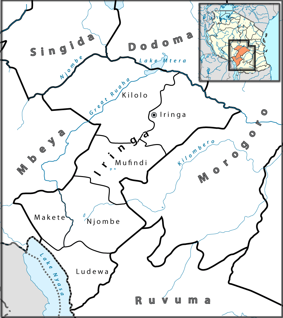
English: Location map of en:Tanzania. Français : Carte de géolocalisation de la fr:Tanzanie. Español: Mapa de georreferenciación de es:Tanzania. Equirectangular projection. 0.25° N, 28° W, 42° E, -13° S. Center : -6.375 35 |
| Ǹgụ́ụ̀bọ̀chị̀ | (UTC) |
| Mkpọlọ́gwụ̀ | |
| Odé ákwụ́kwọ́ |
|

|
This photo was taken by Lantus. If you use one of my photos, an email (account needed) or a message would be greatly appreciated. |
| This is a retouched picture, which means that it has been digitally altered from its original version. Modifications: Ausschnitt für Iringa-Region mit Distriktgrenzen. The original can be viewed here: Tanzania location map.svg:
|
I, the copyright holder of this work, hereby publish it under the following licenses:
This file is licensed under the Creative Commons Attribution-Share Alike 3.0 Unported, 2.5 Generic, 2.0 Generic and 1.0 Generic license.
- I wepulara nóru:
- i nye – ikọpị,ikekasi na izịpụ ọru a
- i dowaria – igbanwee ọrụ a
- Ọ ga bụ na ọnọdụ ndi a:
- í-kpó-áhà – Ị ga-enyerịrị ugo kwesịrị ekwesị, nye njikọ na ikikere ahụ, ma gosikwa ma emere mgbanwe. Ị nwere ike ime ya n'ụzọ ezi uche ọ bụla, mana ọ bụghị n'ụzọ ọ bụla na-egosi na onye nyere ikikere kwadoro gị maọbụ ojiji gị.
- gbásàa kà – Ọ bụrụ na ị tụgharịgharịa, gbanwee, ma ọ bụ wulite n'elu ihe ahụ, ị ga-ekesa ndenye gị n'okpuru otu ma ọ bụ ikike dakọtara dị ka nke mbụ.

|
Í nwèrèíkí jé, gbạsáa na/ma í mezí akwukwo nka na okpúrù íwú GNU Ákwúkwó Íwú nke Owéré, Nké 1.2 ma nke íchè ndi Free Software Foundation; wéfùtàrà; na adighi nkejị di íchẹ, adighi édé nke Ihú-Ihü Ákwúkwó, na adighi Ázú-Ihü Ákwúkwó. Ákwúkwó iwu hé jéré jé di na nkeji kpóró GNU Ákwúkwó Íwú nke Owéré". |
Ị nwere ike họrọ ikikere nke masịrị gị.
Original upload log
This image is a derivative work of the following images:
- File:Tanzania_location_map.svg licensed with Cc-by-sa-3.0,2.5,2.0,1.0, GFDL
- 2009-07-25T00:30:42Z BetacommandBot 3096x2947 (848601 Bytes) move approved by: [[User:Sémhur]] This image was moved from [[:File:Tanzania location equirectangular map.svg]] =={{int:summary}}== {{Information |Description={{en|1=Location map of [[:en:Tanzania]].}} {{fr|1=Carte de gé
Uploaded with derivativeFX
Ịta nke usòrò
Bìri èhì/ogè k'ị hụ òtù ụ̀fa dị̀ m̀gbè ahụ̀.
| Èhì/Ogè | Mbọ-aka | Ógólógó na asaá | Òjìème | Nkwute | |
|---|---|---|---|---|---|
| dị ùgbu â | 16:37, 23 Julaị 2010 | | 902 × 1,013 (70 KB) | Lantus | zusätzlich Übersichtkarte eingebaut |
| 12:09, 23 Julaị 2010 |  | 930 × 1,013 (55 KB) | Lantus | Schriftgrößen angepasst. | |
| 11:09, 23 Julaị 2010 |  | 930 × 1,013 (58 KB) | Lantus | {{Information |Description={{en|1=Location map of en:Tanzania.}} {{fr|1=Carte de géolocalisation de la fr:Tanzanie.}} {{es|1=Mapa de georreferenciación de es:Tanzania.}} Equirectangular projection. 0.25° N, 28° W, 42° E, -13° S. Ce |
Ojiji faịlụ
Ihe ndị na-eso ihe eji Ihu akwụkwọ eme na faịlụ a:
Ejiji failụ zụrụ ọha
Wikis ndi a edeputara na eji kwa failụ a:
- Ihe eji na bg.wikipedia.org
- Ihe eji na ceb.wikipedia.org
- Ihe eji na el.wikipedia.org
- Ihe eji na en.wikipedia.org
- Ihe eji na es.wikipedia.org
- Ihe eji na ha.wikipedia.org
- Ihe eji na it.wikipedia.org
- Ihe eji na sw.wikipedia.org
- Ihe eji na ts.wikipedia.org
- Ihe eji na uk.wikipedia.org
- Ihe eji na vi.wikipedia.org
- Ihe eji na www.wikidata.org
- Ihe eji na yo.wikipedia.org
- Ihe eji na zu.wikipedia.org