
Usòrò:Kampala District Uganda.png

Otu nyochaa a ha:528 × 600 piksels Ndị ọzọ mkpebi:211 × 240 piksels | 422 × 480 piksels | 661 × 751 piksels.
Failụ si na nke mbu (661 × 751 pixel, ívù akwukwo orunótu: 31 KB, MIME nke: image/png)
| Nkówá |
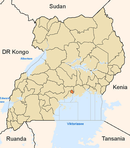
English: Map showing the position of the district Kampala in Uganda.
Deutsch: Karte, die die Position des Distriktes Kampala in Uganda anzeigt.
Plattdüütsch: Koort, de de Positschoon vun’n Distrikt Kampala in Uganda wiest. |
||
| Mkpọlọ́gwụ̀ | Orü ọnwé | ||
| Odé ákwụ́kwọ́ | |||
| Ọdà (Í jí kwá usòrò nke) |
|
Ịta nke usòrò
Bìri èhì/ogè k'ị hụ òtù ụ̀fa dị̀ m̀gbè ahụ̀.
| Èhì/Ogè | Mbọ-aka | Ógólógó na asaá | Òjìème | Nkwute | |
|---|---|---|---|---|---|
| dị ùgbu â | 17:03, 8 Jụn 2005 | | 661 × 751 (31 KB) | Slomox | Map showing the position of the district Kampala in Uganda. {{GFDL}} Category:Maps of Ugandan districts |
Ojiji faịlụ
Ihe ndị na-eso ihe eji Ihu akwụkwọ eme na faịlụ a:
Ejiji failụ zụrụ ọha
Wikis ndi a edeputara na eji kwa failụ a:
- Ihe eji na ar.wikipedia.org
- Ihe eji na ceb.wikipedia.org
- Ihe eji na en.wikipedia.org
- Ihe eji na fa.wikipedia.org
- Ihe eji na fi.wikipedia.org
- Ihe eji na fo.wikipedia.org
- Ihe eji na fr.wikinews.org
- Ihe eji na gl.wikipedia.org
- Ihe eji na ha.wikipedia.org
- Ihe eji na is.wikipedia.org
- Ihe eji na ja.wikipedia.org
- Ihe eji na ko.wikipedia.org
- Ihe eji na mi.wikipedia.org
- Ihe eji na nds.wikipedia.org
- Ihe eji na oc.wikipedia.org
- Ihe eji na pl.wiktionary.org
- Ihe eji na ps.wikipedia.org
- Ihe eji na pt.wikipedia.org
- Ihe eji na qu.wikipedia.org
- Ihe eji na sw.wikipedia.org
- Ihe eji na ts.wikipedia.org
- Ihe eji na ur.wikipedia.org
- Ihe eji na vep.wikipedia.org
- Ihe eji na vo.wikipedia.org
- Ihe eji na www.wikidata.org
- Ihe eji na yo.wikipedia.org
- Ihe eji na zh.wikipedia.org
- Ihe eji na zu.wikipedia.org