
Usòrò:سلاطة مشوية، مع الزيتون الاخضر، تونس 2020.jpg
Failụ si na nke mbu (2,973 × 2,969 pixel, ívù akwukwo orunótu: 3.12 MB, MIME nke: image/jpeg)
Mmẹkụwátá
| Nkówá |
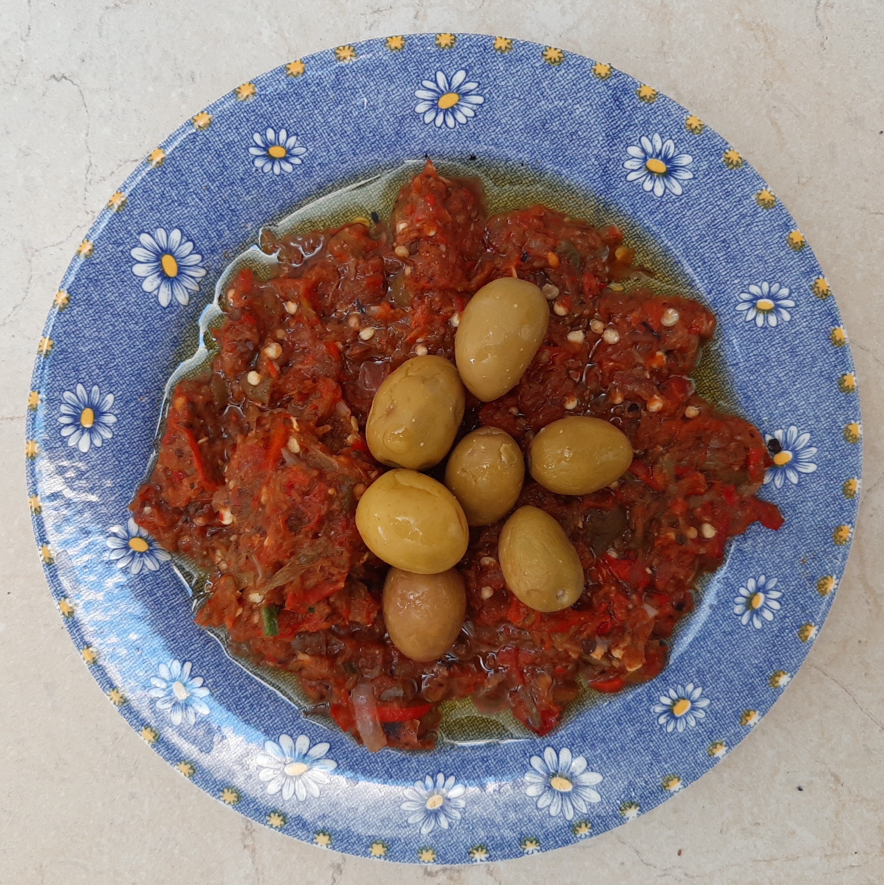
Français : Slata mechwya, Tunisie |
||||||||||||||||||||
| Ǹgụ́ụ̀bọ̀chị̀ | 22 Jụn 2020 (according to Exif data) | ||||||||||||||||||||
| Mkpọlọ́gwụ̀ | Orü ọnwé | ||||||||||||||||||||
| Odé ákwụ́kwọ́ |
Habib M’henni
    This photograph was made by Habib Mhenni (User:Dyolf77) and released under the license(s) stated above. English: Credits to Habib Mhenni / Wikimedia Commons Français : Crédits à Habib Mhenni / Wikimedia Commons العربية : بترخيص الحبيب مهني / ويكيميديا كومنز If you use this image outside the Wikimedia projects, Other files from me can be found in Category:Files by User:Dyolf77 |
||||||||||||||||||||

| Camera location | | View this and other nearby images on: OpenStreetMap |
|---|
Nkwényé
- I wepulara nóru:
- i nye – ikọpị,ikekasi na izịpụ ọru a
- i dowaria – igbanwee ọrụ a
- Ọ ga bụ na ọnọdụ ndi a:
- í-kpó-áhà – Ị ga-enyerịrị ugo kwesịrị ekwesị, nye njikọ na ikikere ahụ, ma gosikwa ma emere mgbanwe. Ị nwere ike ime ya n'ụzọ ezi uche ọ bụla, mana ọ bụghị n'ụzọ ọ bụla na-egosi na onye nyere ikikere kwadoro gị maọbụ ojiji gị.
- gbásàa kà – Ọ bụrụ na ị tụgharịgharịa, gbanwee, ma ọ bụ wulite n'elu ihe ahụ, ị ga-ekesa ndenye gị n'okpuru otu ma ọ bụ ikike dakọtara dị ka nke mbụ.
| This file was uploaded via Mobile Android App (Commons mobile app) 2.13~d950f7219. |
Ịta nke usòrò
Bìri èhì/ogè k'ị hụ òtù ụ̀fa dị̀ m̀gbè ahụ̀.
| Èhì/Ogè | Mbọ-aka | Ógólógó na asaá | Òjìème | Nkwute | |
|---|---|---|---|---|---|
| dị ùgbu â | 12:12, 26 Jụn 2020 | | 2,973 × 2,969 (3.12 MB) | Dyolf77 | Cropped 2 % horizontally, 26 % vertically using CropTool with lossless mode. |
| 11:13, 26 Jụn 2020 |  | 3,024 × 4,032 (3.86 MB) | Dyolf77 | Uploaded using Commons Mobile App |
Ojiji faịlụ
Ihe ndị na-eso ihe eji Ihu akwụkwọ eme na faịlụ a:
Ejiji failụ zụrụ ọha
Wikis ndi a edeputara na eji kwa failụ a:
- Ihe eji na ar.wikipedia.org
- Ihe eji na es.wikipedia.org
- Ihe eji na ru.wikipedia.org
- Ihe eji na uk.wikipedia.org
- Ihe eji na www.wikidata.org