
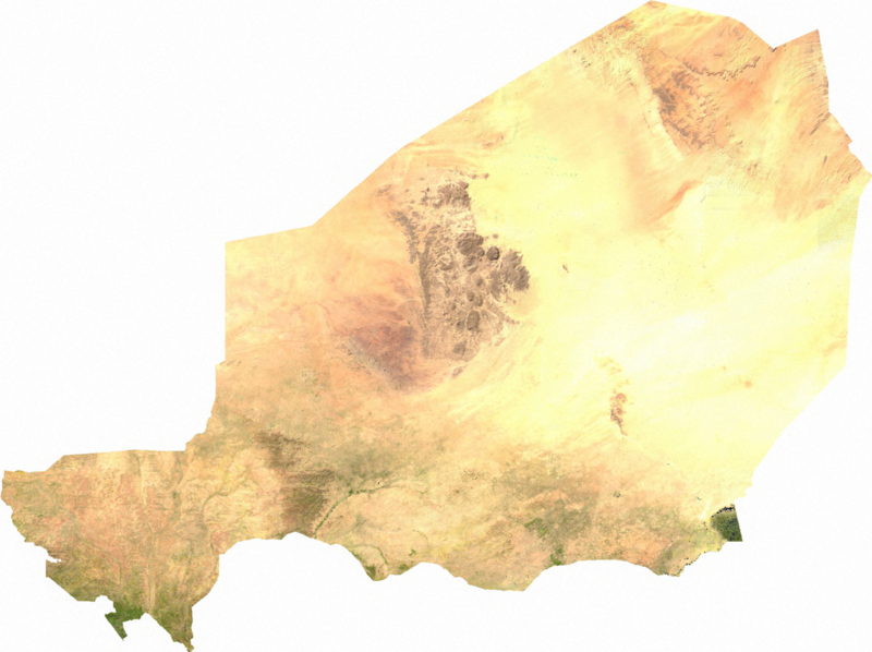
Usòrò:Niger sat.png

Otu nyochaa a ha:800 × 598 piksels Ndị ọzọ mkpebi:320 × 239 piksels | 640 × 478 piksels | 1,024 × 765 piksels | 1,280 × 957 piksels | 1,901 × 1,421 piksels.
Failụ si na nke mbu (1,901 × 1,421 pixel, ívù akwukwo orunótu: 3 MB, MIME nke: image/png)
ECW to TIFF to PNG (compression level 9).
| This file is in the public domain, because it was generated by a user, using free sources available at The Map Library.
Note that this does not include the maps in the Global Administrative Areas section of the homepage. |
Ịta nke usòrò
Bìri èhì/ogè k'ị hụ òtù ụ̀fa dị̀ m̀gbè ahụ̀.
| Èhì/Ogè | Mbọ-aka | Ógólógó na asaá | Òjìème | Nkwute | |
|---|---|---|---|---|---|
| dị ùgbu â | 02:44, 14 Julaị 2006 | | 1,901 × 1,421 (3 MB) | Unquietwiki | ECW to TIFF to PNG (compression level 9). {{PD-MapLibrary}} |
Ojiji faịlụ
Ihe ndị na-eso ihe eji Ihu akwụkwọ eme na faịlụ a:
Ejiji failụ zụrụ ọha
Wikis ndi a edeputara na eji kwa failụ a:
- Ihe eji na ar.wikipedia.org
- Ihe eji na bg.wikipedia.org
- Ihe eji na bn.wikipedia.org
- Ihe eji na ca.wikipedia.org
- Ihe eji na da.wikipedia.org
- Ihe eji na de.wikipedia.org
- Ihe eji na en.wikipedia.org
- Niger
- Geography of Niger
- User talk:Esoxid
- 2010 Sahel famine
- User talk:MPinchuk (WMF) (usurped)
- User talk:Jethro B
- User talk:Jesus Presley/Archive
- User talk:PhnomPencil/Archive2
- User talk:Horai 551
- User talk:Xyphoid
- User talk:Wer900/Archive1
- User talk:Sahara4u/Archive 3
- User talk:Revolution1221
- User talk:Kenanwang
- User talk:ITTechWriterA
- User talk:WaitingForConnection
- User talk:Simplysavvy
- User talk:Dfrr
- User talk:Khamar/Archive 4
- User talk:CopyEdit Bliss
- User talk:A Dutch Panda
- User talk:A.Minkowiski
- User talk:Tolly4bolly/Archive 12
- User talk:PointsofNoReturn/Archive 1
- User:MrWooHoo/Archive 4
- User talk:Wakanebe Wizard
- User talk:NickPenguin/Archive 5
- User talk:Geirfuglasker
- User talk:GiantSnowman/2015
- User talk:EMachine03/Archive
- User talk:HectorAE/Archive 2
- User talk:Technical 13/2015/2
- User talk:Evad37/Archive 4
- User talk:Becky Sayles/Archive 11
- User talk:Gongshow/Archive 11
- User talk:Rcsprinter123/Archives/44
- User talk:K6ka/Archive 10
- User talk:CFCF/Archive 5
- User talk:Presidentman/Archives/ 18
- User talk:Theopolisme/Archive 21
- User talk:Casliber/Archive 48
- User talk:Stuartyeates/Archive 18
Lee more global usage of this file.